For millennia, humans have looked at the world and felt the urge to understand and represent it. This isn’t simply about navigation; it’s about imposing order on chaos, defining our place in the universe, and, ultimately, shaping how we *think* about the world. That urge gave birth to cartography – the art and science of mapmaking – a discipline far more profound than simply drawing lines on parchment. This article delves into the fascinating history of cartography, exploring its evolution, the cultural influences that shaped it, and its lasting impact on our worldview.
Early Beginnings: Beyond Practical Navigation
The earliest maps weren’t the geographically precise depictions we’re familiar with today. They were often born of necessity – helping hunters remember territories, guiding travelers across familiar landscapes, or delineating property boundaries. However, even these rudimentary maps weren’t solely practical. They held symbolic and cosmological significance.
Consider the Babylonian Map of the World (c. 600 BCE), etched onto a clay tablet. It wasn’t a representation of the entire world as we know it, but rather a depiction of Babylon and the surrounding lands, surrounded by a circular ocean. This wasn’t a misunderstanding of geography; it reflected a worldview where Babylon was the center of the universe, a concept deeply ingrained in Mesopotamian cosmology. Similarly, early Chinese maps often placed China at the center, surrounded by mythical creatures and distant, vaguely defined lands.
These early maps weren’t about accurate representation in the modern sense. They were about conveying meaning, reinforcing cultural beliefs, and establishing a sense of place. They were, in essence, statements of power and identity.
The Greek Revolution: Introducing Scientific Cartography
The Greeks, particularly during the Hellenistic period (323 BCE – 31 BCE), marked a turning point in cartographic history. They began to apply mathematics and observation to mapmaking, laying the foundations for what we consider scientific cartography. Figures like Anaximander and Hecataeus attempted to create more comprehensive world maps, though their knowledge of lands beyond the Mediterranean was largely based on travelers’ tales and conjecture.
However, it was Eratosthenes (c. 276 – 195 BCE) who truly revolutionized the field. As the librarian of Alexandria, he used geometry, observation of shadows, and estimates of distances to calculate the circumference of the Earth with remarkable accuracy. He also created maps based on a coordinate system, using parallels and meridians – a concept that remains fundamental to mapmaking today.
Ptolemy (c. 100 – 170 CE), a Greco-Roman astronomer and geographer, further refined these methods. His Geography, a comprehensive treatise on cartography, presented a world map based on a coordinate system and included detailed descriptions of various regions. Ptolemy’s work, though containing inaccuracies (he significantly underestimated the size of the Earth), became the standard reference for mapmaking for over 1400 years. His influence extended through the Roman Empire and into the Islamic world.
The Islamic Golden Age: Preserving and Expanding Knowledge
During the Islamic Golden Age (8th – 13th centuries), scholars preserved and translated Greek texts, including Ptolemy’s Geography. However, they didn’t simply replicate existing knowledge. Islamic cartographers made significant advancements, incorporating new observations, particularly from explorations throughout the Islamic world.
Al-Idrisi (c. 1100 – 1165), a Muslim geographer working in Sicily, created a detailed world map for King Roger II of Sicily. This map, known as the Tabula Rogeriana, was remarkably accurate for its time, incorporating information from Arab, Byzantine, and European sources. It showed Africa, Asia, and Europe with a surprising level of detail, demonstrating the extensive geographic knowledge of the Islamic world.
Islamic cartographers also developed more sophisticated map projections and improved techniques for measuring distances and determining latitude and longitude. Their contributions were crucial in bridging the gap between ancient Greek knowledge and the cartographic advancements of the Renaissance.
The Renaissance and the Age of Exploration: A New World Emerges
The Renaissance (14th – 16th centuries) witnessed a renewed interest in classical learning and a surge in exploration. This period saw a dramatic shift in cartography, driven by the need for accurate maps to navigate the newly discovered lands. The invention of the printing press allowed for the mass production of maps, making them more accessible to a wider audience.
European explorers, such as Christopher Columbus, Ferdinand Magellan, and Vasco da Gama, ventured into uncharted territories, bringing back new information that challenged existing maps. The discovery of the Americas forced cartographers to revise their understanding of the world’s geography.
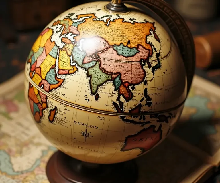
Gerard Mercator (1512 – 1594), a Flemish cartographer, revolutionized navigation with his Mercator projection (1569). This projection accurately represented shapes and angles but distorted areas, particularly at higher latitudes. While not ideal for representing the true size of countries, it proved invaluable for sailors, as it allowed them to plot a straight course between two points. The Mercator projection remains widely used today, despite its inherent distortions, a testament to its practical utility.
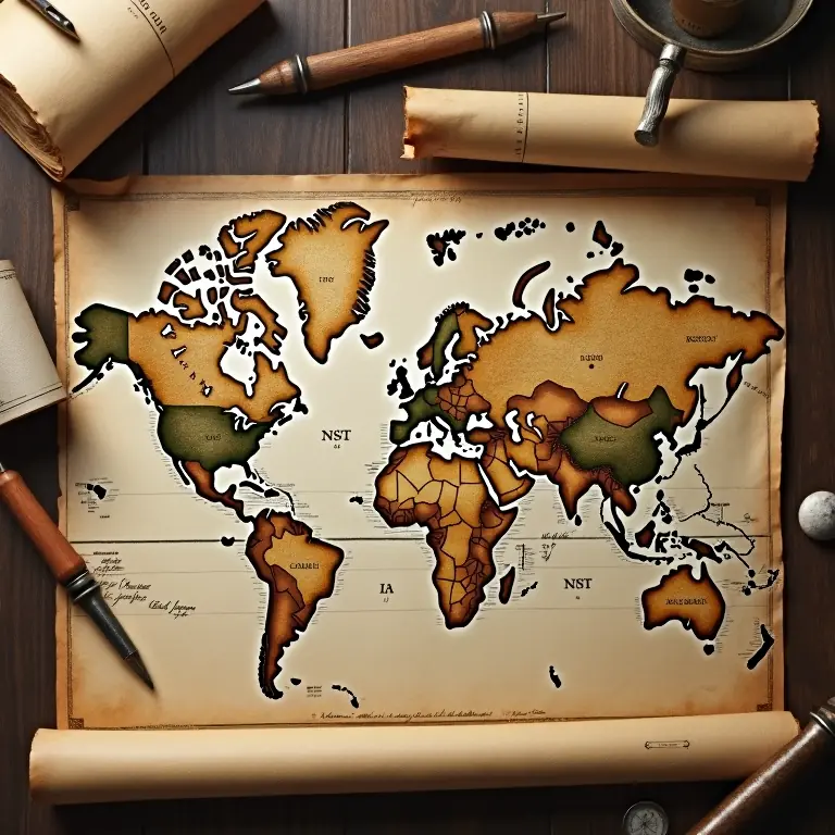
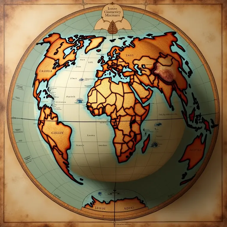
The Renaissance also saw a flourishing of decorative cartography, with maps becoming increasingly elaborate and artistic. Mapmakers incorporated ornate illustrations, mythical creatures, and depictions of cities and landscapes, transforming maps into works of art as well as tools for navigation.
The 18th and 19th Centuries: Standardization and National Identity
The 18th and 19th centuries were characterized by increased scientific rigor and standardization in cartography. National surveying projects, such as the Ordnance Survey in Great Britain, aimed to create highly accurate maps of entire countries. These surveys employed precise instruments and mathematical techniques, producing maps that were increasingly reliable.
The development of lithography allowed for the mass production of detailed and colorful maps. Topographic maps, showing elevation and landforms, became increasingly common, aiding in military planning, resource management, and scientific research.
This period also saw the rise of national mapping agencies, reflecting the growing importance of maps in asserting national sovereignty and promoting national identity. Maps were used to define borders, delineate territories, and reinforce a sense of national belonging.
The 20th and 21st Centuries: The Digital Revolution and Beyond
The 20th century brought about a revolution in cartography with the advent of aerial photography, satellite imagery, and, ultimately, Geographic Information Systems (GIS). These technologies allowed for the creation of incredibly detailed and accurate maps, updated in real-time.
GIS, in particular, transformed cartography from a primarily visual discipline into a powerful analytical tool. GIS allows users to store, analyze, and visualize geographic data, enabling them to identify patterns, solve problems, and make informed decisions.
The rise of the internet and digital mapping platforms, such as Google Maps and OpenStreetMap, has made maps accessible to virtually anyone with a computer or smartphone. This has democratized mapmaking, allowing individuals to contribute to and modify maps, creating a collaborative and constantly evolving cartographic landscape.
However, the digital revolution also presents challenges. Concerns about data privacy, algorithmic bias, and the potential for misinformation are increasingly important considerations in the age of digital cartography. The ease with which maps can be created and manipulated underscores the importance of critical thinking and media literacy.
The Cultural Impact of Cartography
Throughout history, maps haven’t just reflected the world; they’ve actively *shaped* our understanding of it. The way a map is designed, the information it includes, and the choices made in its creation all influence how we perceive the world and our place within it.
For example, the Eurocentric maps that dominated for centuries reinforced the idea of European superiority and marginalized the knowledge and perspectives of other cultures. The way borders are depicted on maps can influence political disputes and shape national identities. Even the choice of a particular map projection can subtly convey a particular worldview.
Cartography also intersects with other disciplines, such as art, literature, and psychology. Maps have been used as symbols of power, tools of propaganda, and sources of inspiration for artists and writers. The study of how people interpret and interact with maps provides insights into human cognition and perception. You can explore how play, a seemingly unrelated field, also offers insights into understanding the universe – see the unexpected physics of play.
The Enduring Legacy of Mapmaking
From the earliest clay tablets to the sophisticated digital maps of today, cartography has been a fundamental human endeavor. It’s a testament to our innate curiosity, our desire to understand the world around us, and our need to define our place within it.
While the tools and techniques of cartography have evolved dramatically over time, the underlying principles remain the same: to represent space, convey information, and ultimately, to shape our worldview.
The art of cartography is far from forgotten. It continues to evolve, embracing new technologies and addressing new challenges. As we navigate an increasingly complex and interconnected world, the ability to understand and interpret maps – and to critically evaluate the information they convey – is more important than ever.
To understand how seemingly simple things, like color, have shaped our world, consider exploring the science of pigments throughout history. And if you’re curious about the materials that often feature *on* maps, you might find the secret lives of common minerals fascinating. The very tools used to create these maps have a history too – learn more about the history of writing technologies. Even the names of places hold stories; delve into the untold stories in street names.

 The Curious Cartography of Dreams: Mapping the Landscapes of Sleep
  The Curious Acoustics of Historical Echo Chambers: Resonance, Ritual, and Revelation
 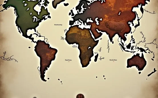 The Curious Cartography of Scent: Mapping Perfume Ingredients Through History
  The Curious Lexicon of Lost Trades
  The Surprisingly Consistent Science of Historical Ice Harvesting – A Frozen History of Commerce & Preservation
  The Unexpectedly Consistent Science of Historical Buttonhooks – Fashion, Function & Forgotten Tools